Iceland Part IX: South Shore
My Journey: Water, Ice, and Snow
4/29/2024, Monday
It was a long drive to get to the ruins of a bridge right out side the
Skaftafellsstofa visitor center.

Skeiðará Bridge Monument
We parked the car, and after finding water closets, we searched for the trail to the waterfall, Svartifoss. From the center, you could also walk to
Skaftafell Glacier as there was another glacier on the literary and with limited time I focused on going to the waterfall which is one of the ones I wanted to see the most.


My GPS was not working well and I was not sure where we were on the trail or in relation to our destination. When I saw Hundafoss, I thought I was seeing Svartifoss as there was no sign saying the name of the waterfall. So, I thought the waterfall view was not as good from the trail as the view commonly seen of the waterfalll. I spent the walk back to the car filling disappointed in the view.

Hundafoss

Hundafoss

View from the trail above, Hundafoss
Once back at the car and on the road, just as we were getting back on the ring road, as I was looking at the Google Map, I realized we had not made it to Svartifoss. Well, by that time it was so far, we would have to get a post card for this one. From here, we headed to the south side of the park to see the glaciers. As we left the park, there was a car parked outside the lot trying to avoid the parking payment system that records your plates.

Glaciers Kviarjokull, Fjallsjökull, and Breidhamerkurjokull
There are a couple of ways to see the glaciers and glacier lakes. We used the Viewpoint of Fjallsjökull road. It a dirt road and was a little rough but fun. The wind here is strong so make sure to point the car into the wind and be careful opening doors, use both hands. It is also cold here. While I did not get as close to the glacier here as I had in Alaska, the view is spectacular! This ice shelf sits on an active volcano. It is Iceland in one picture; Fire and Ice.


We headed back to the van and started the trip back to the Ring Road. As we did so, we passed the park rangers coming into the area.

Glaciers Kviarjokull, Fjallsjökull, and Breidhamerkurjokull
Right around the corner from the glaciers is Diamond Beach. There are a couple of places to park. They are all going to cost. We parked in the western lot (Breiðamerkursandur) and as we pulled in, that same car was parked trying to avoid paying the parking fee.

Large Ice at Dimond Beach
There is an outlet to the ocean from the big glacier lake at the foot of Breidhamerkurjokull. Icebergs wash out from the lake into the North Atlantic. Some of them wash back I’m sure, along with lots of small bits of ice. The clear ice against the black sand creates the feeling of being surrounded by large diamonds, hence the name. This is a must visit.


After exploring the beach, we headed back to the van. As we were leaving, we saw the same ranger from before pulling into the parking lot. The car was still sitting outside the lot with a nice ticket on the window. Don’t do what they did.

Diamond Beach
From Diamond Beach, we started the journey on the southern fjords. This is another long drive. All along the way, there are light houses, art installations like this red chair and a random piece of an airplane wing (not pictured).
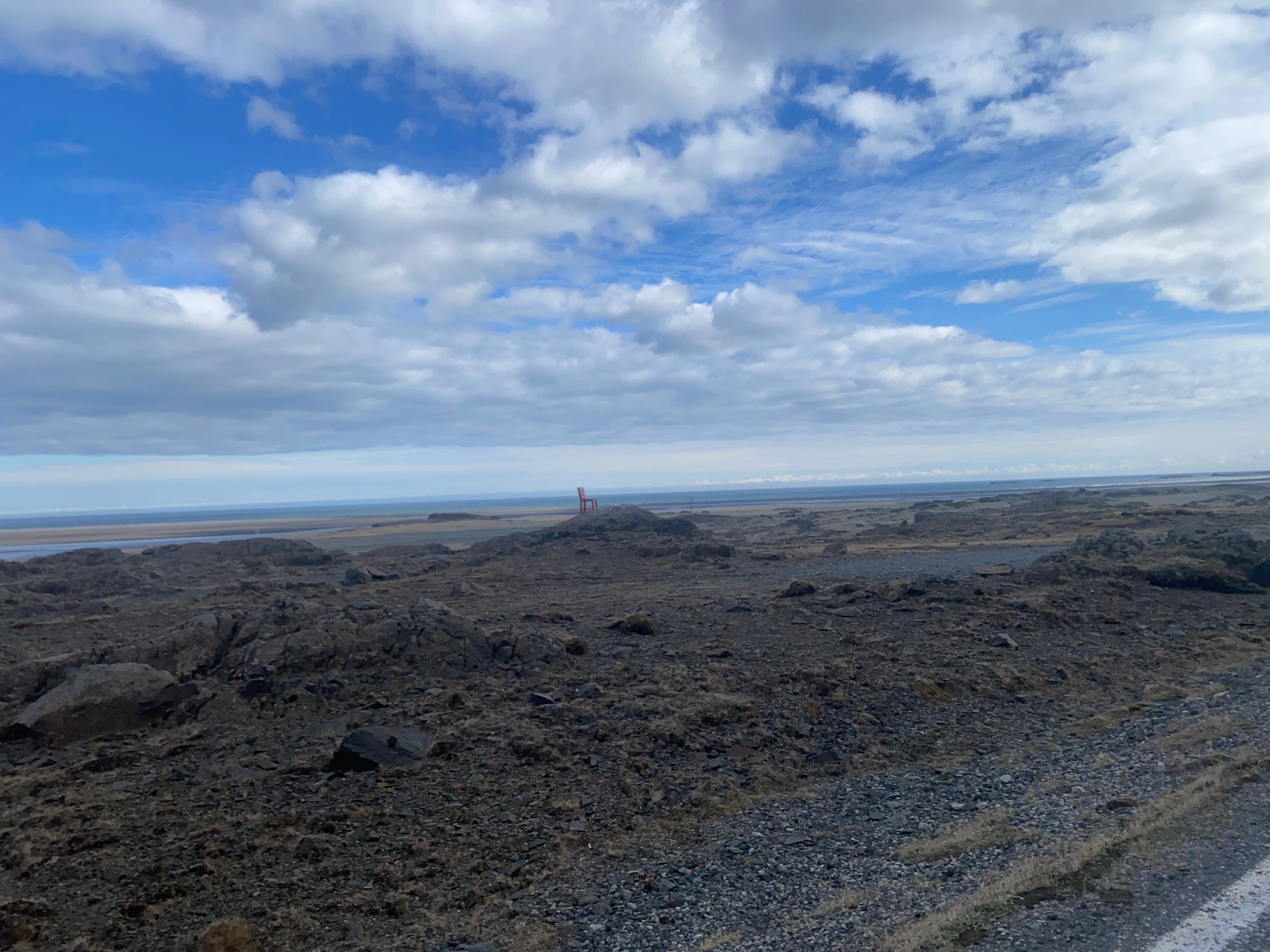
Red Chair
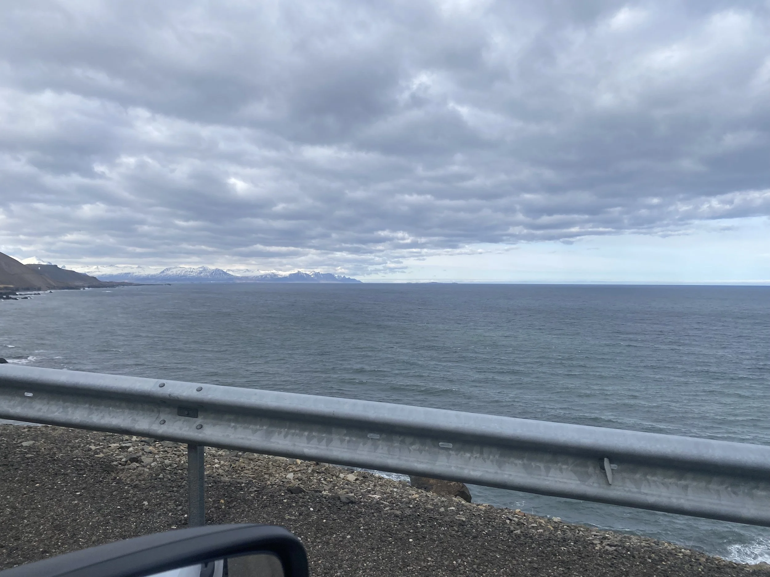
The views are spectacular of both the ocean and the mountains. Unfortunately, we were done seeing clear skies. There were several thermal baths on this side.They were all closed, though, when we drove through.

Hvalnes Lighthouse
All along the way, we stopped to take pictures and break from the endless drive. In some places, the road is right on the edge of a cliff with little to no rails. I would not do this drive with less than ideal conditions if you are not used to these types of roads.


One of the stops was a view point of Fauskasandur, a rock that rises up out of the surf of a black sand beach.

Lækjavik
There are not many gas stations in Iceland and on this stretch, those that are around, are not right off the Ring Road so we had to take a detour to the town of Djúpivogur for gas. We also hit up the Water Closet in town.


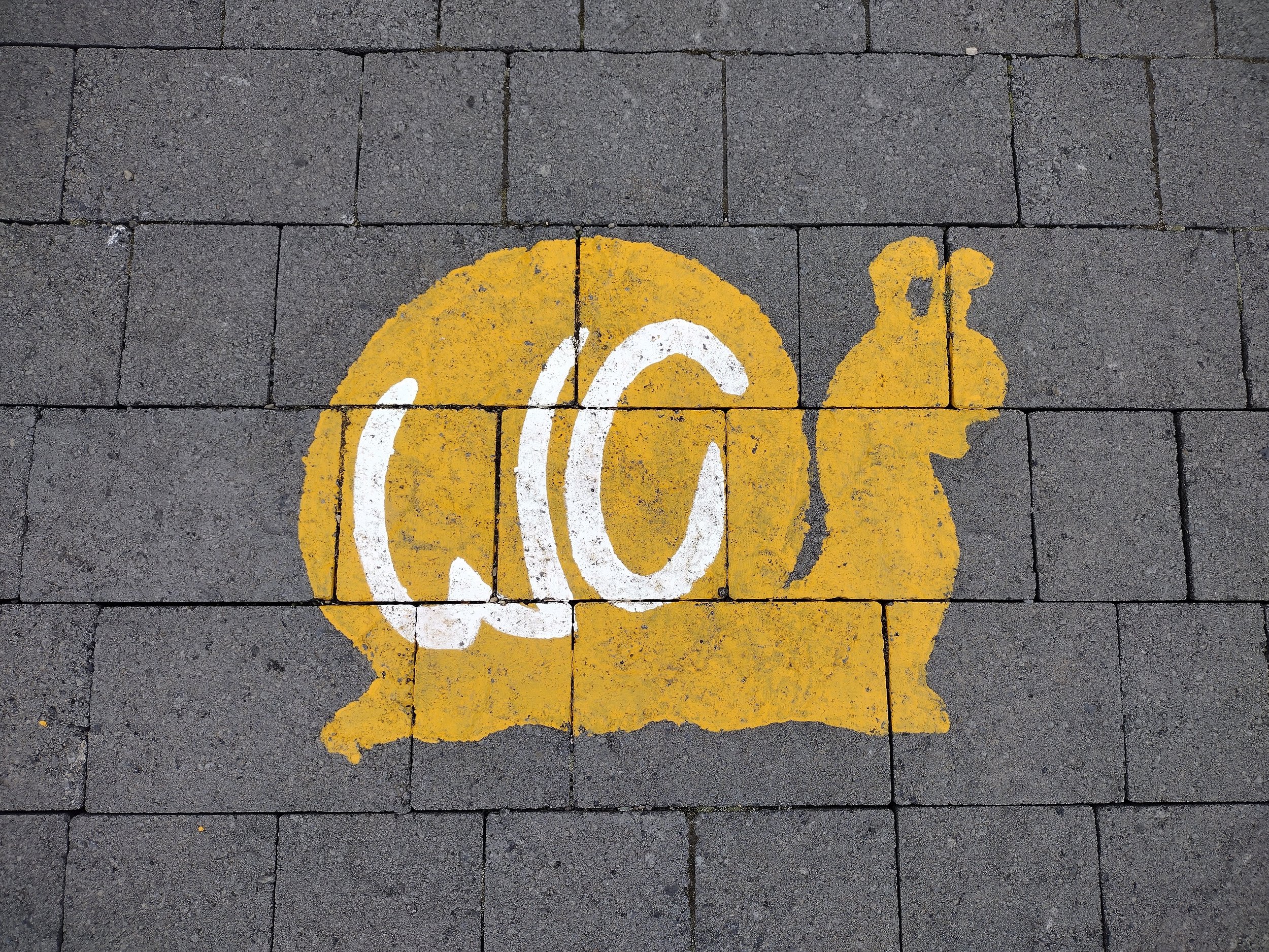
One of the last places we stopped before making the climb inland, was the Green Rock outcropping. It is very different than most of the other rocks you see in the area.

Green Rock
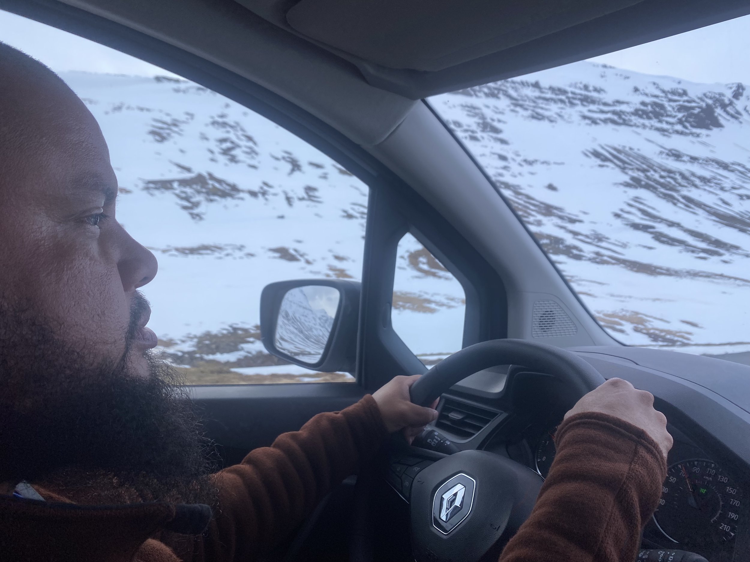
From Green Rock, we started the climb inland. The climb started with Fáskrúðsfjarð Tunnel . Once on the other side, it quickly changed to a realm of snow and ice.


The more we climbed, the more snow we saw. Ultimately, we proceeded with confidence using information on road conditions from Iceland’s own website and Apps that linked to the Icelandic road data.

Ring Road
The conditions continued to become more intimidating until we reached the pass and decended down to the town of Egilastadir.


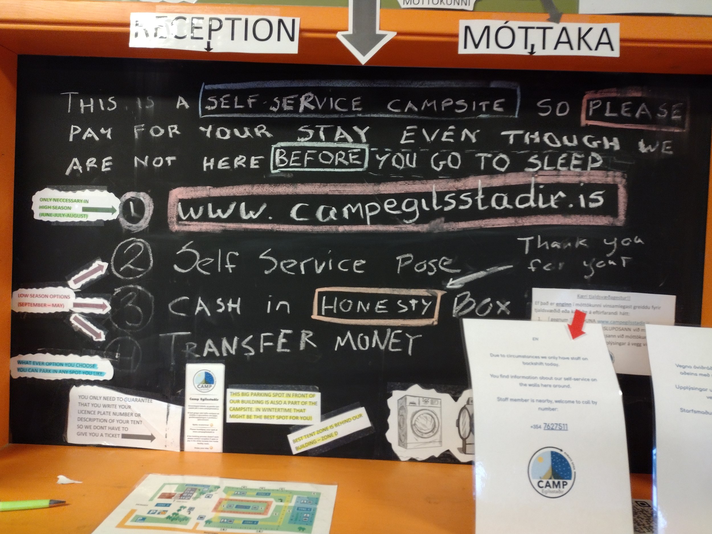
By the time we got to Camp Egilsstadir and Egilsstadastofa Visitor Center for the night, most things in town were closed. We quickly squared away things at the camp and then headed to our spa for the day.

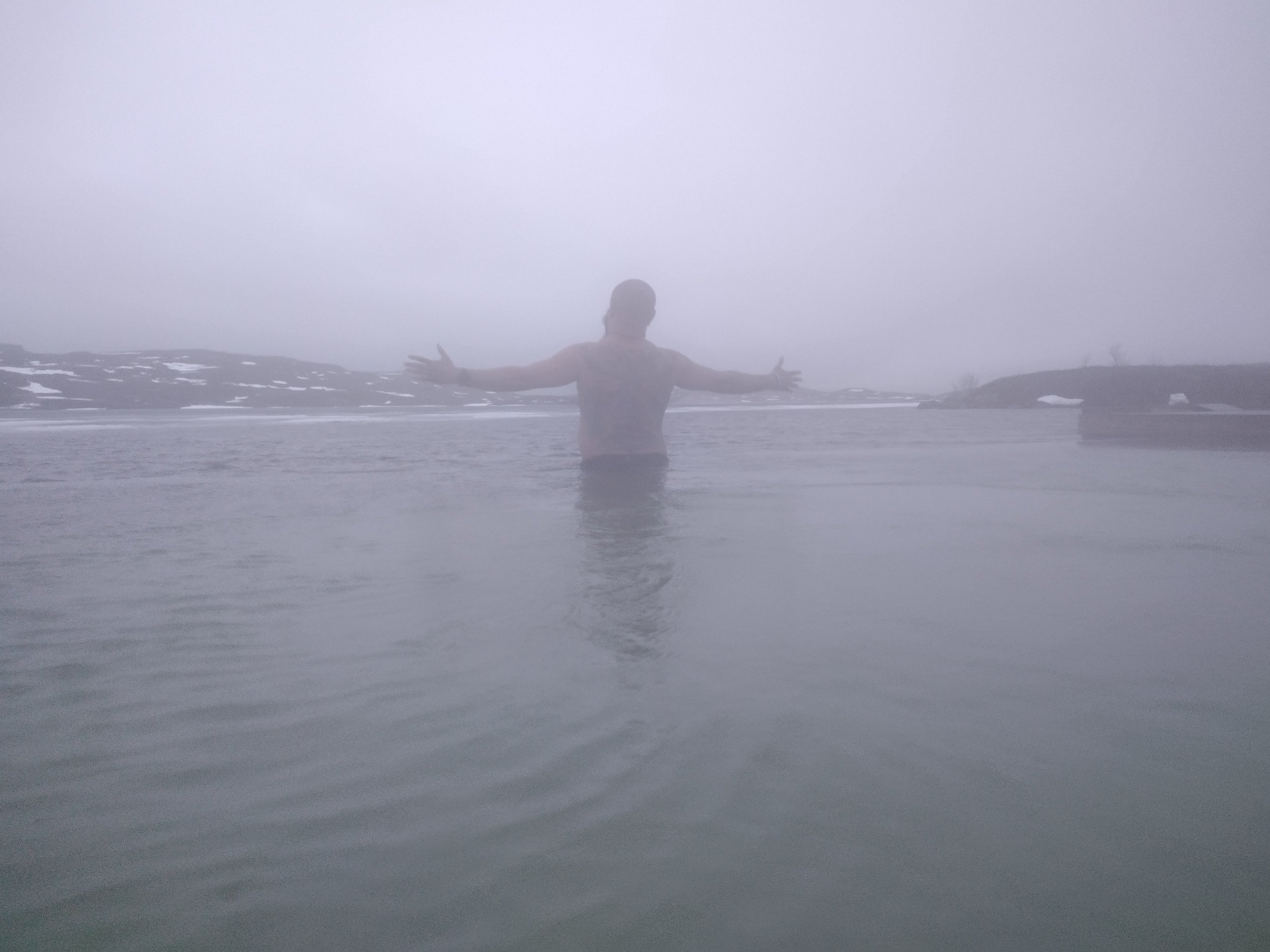
Vök Baths was one of the best baths we went to. It was quiet, had a great view of the ice covered lake, and warm baths built into docks out on the lake.

Vök Baths
This was the first bath where we used the walk up bar. It was also the first time I was completely uninhibited about the showers.


Once again, our timing left us with just the right amount of time to relax before the spa closed for the night.

Ice on the Lake
I imagine that these places are gorgeous at night, but at this time of year it stays pretty close to twilight most of the evening. All the places close around 9 or 10.


After the thermal bath, we headed back into town to have dinner and go to bed. The camp site has a kitchen that you can use which made cooking easier. We parked the van in the lot and slept there.
Tips and Lessons Learned
Get gas when you can.
Use the weather and road condition apps.